Komentáře mohou vkládat pouze registrovaní uživatelé.
Před vložením komentáře je nutné se buď přihlásit, nebo zaregistrovat.
754.049-5 | |
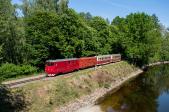
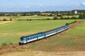
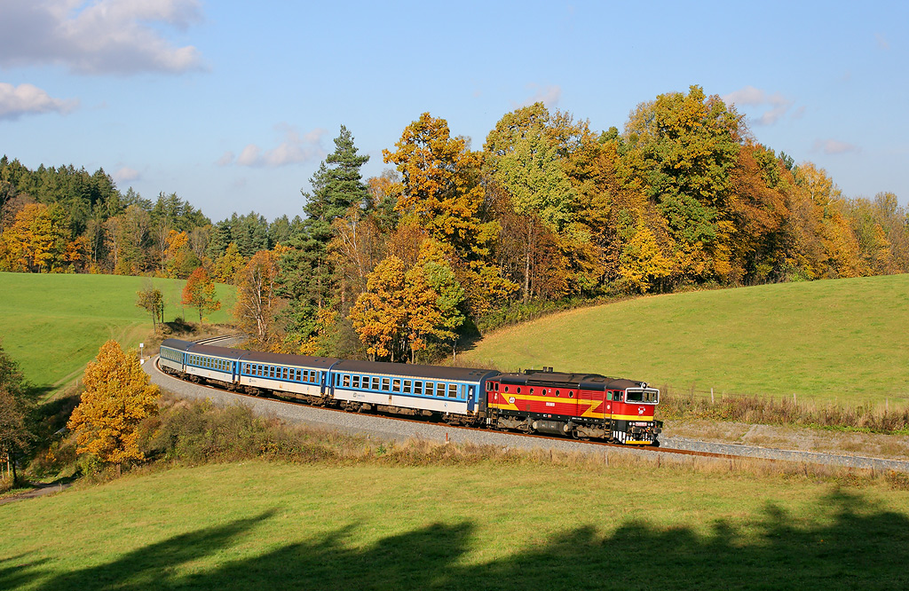 | Informace o fotografii: - Úsek: Frenštát pod Radhoštěm - Kunčice pod Ondřejníkem - GPS: 49°32'17.596"N, 18°16'3.573"E » - Datum: 23.10.2016 - Autor: Tomáš Krajcar  - Pozn.: Os 3129 - Zobrazeno: 4559x - Detailní EXIF informace » - Rating od autorů: 10 - Rating od uživatelů: 9 |
| Abyste mohli hodnotit, musíte se přihlásit | |
Přidat komentář
Přihlášení
© 2001 - 2026 ŽelPage
- správci - otázky a odpovědi
:. Projekty
:. Weby
:. Kontakty
:. Sledujte nás

Info

informacni okenko